Accurate Drone Stockpile Measurement for Modern Inventory

Imagine a gravel yard where heaps of raw material shift daily, and a single miscalculation could mean thousands lost. Precise stockpile measurement underpins effective inventory management in industries like mining, construction, and logistics. drone stockpile measurement offers a powerful answer to the age-old challenge of capturing accurate volumes, without the risks, delays, and limitations of manual methods.
Transforming Inventory Management with Aerial Data
Surveying large stockpiles has always posed difficulties: walking unstable piles is unsafe, and ground-based tools are slow and sometimes inaccurate. Drones equipped with advanced sensors now scan a site in minutes, capturing high-resolution images from above. These images are stitched into detailed 3D models that deliver precise volume calculations. With drone stockpile measurement, teams can perform regular counts and audits quickly, maintaining real-time awareness of inventory levels and spotting shrinkage or overages sooner.
Compared to the old reliance on tape measures or theodolites, drones bring a new standard of efficiency and accuracy. The result is less downtime, higher throughput, and a significant reduction in human error. For teams responsible for multiple yards or remote locations, drones also cut the need for travel, data uploads happen instantly.
UAVs vs Drones: What’s the Difference in Industrial Use?
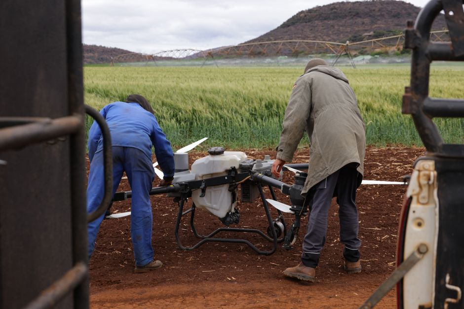
The terms “UAV” (unmanned aerial vehicle) and “drone” are sometimes used interchangeably, but there’s a subtle distinction, especially in commercial settings. UAV typically refers to the flying machine itself, while “drone” often encompasses the entire system: aircraft, remote control, sensors, and data-processing software. In practical terms for inventory, both carry out the essential task of aerial surveying, but commercial drones are often designed with ruggedness and automation in mind to handle demanding stockpile work.
Choosing between UAVs and consumer-grade drones, businesses should check for features like real-time kinematic (RTK) positioning, obstacle avoidance, and compatibility with inventory management software. These capabilities ensure both data quality and operational safety on busy industrial sites.
Commercial Drones and Their Role in Utility Inspection
While stockpile measurement is a prime application, commercial drones have reshaped utility inspection and site surveillance as well. Powerline checks, pipeline integrity assessments, and solar farm monitoring all benefit from the same aerial data workflow. With a single flight plan, a drone can capture thousands of data points across vast, hard-to-reach infrastructure, reducing the need for manual climbs or shutdowns.
The ability to deploy a drone for both drone inspection and security patrols further increases asset utilization. For example, a drone may map stockpiles in the morning, then switch to perimeter surveillance at night, leveraging the same high-resolution imaging technology for different business needs.
Selecting the Right Drone: A Look at Acecore’s UAV range
For operators seeking reliable and industrial-grade performance, Acecore’s UAV range is engineered for tasks like stockpile measurement, utility inspection, and security. These platforms combine flight stability with heavy payload capacity, supporting advanced LiDAR, photogrammetry cameras, and thermal sensors. Integration with inventory management software streamlines the reporting process, reducing manual data entry and accelerating decision-making.
Industry leaders in mining, construction, and logistics have adopted these UAVs to improve measurement frequency and transparency. Before investing, teams should consider factors such as battery life, sensor compatibility, and after-sales support to maximize long-term value.
Choosing Your Next Step in Drone Stockpile Measurement
To deepen your understanding of drone-based volumetric measurement and its impact on inventory workflows, explore a technical guide on drone photogrammetry or a case study comparing manual and aerial survey methods. These resources detail essential metrics, workflow efficiencies, and key selection criteria for both hardware and software. Knowing the pros and cons of each system will help you build a business case for adopting drone technology in your own operations.